Home Page › Uav drone gps/gnss rtk ground control solutions
UAV Drone GPS/GNSS RTK Ground Control Solutions
There’s a lot of excitement in the land surveying, GIS, and mapping industries these days around the use of UAV’s (Unmanned Aerial Vehicles) for collecting massive amounts of data which can be used to create detailed, orthorectified base maps as well as highly accurate 3D topographic models. In the past this type of data was only available to those willing to pay a fortune to have a photogrammetry consultant fly an airplane over their project, but now, thanks to modern UAV technology it can be done for a fraction of the price and in much less time.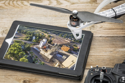
The biggest challenge however, as many new UAV entrepreneurs are becoming aware, is being able to generate consistent, reliably accurate maps down to the centimeter level. Without ground control points this kind of accuracy is an impossibility, and without accurate coordinates on those GPC’s they’re worthless. This is where Precision Geosystems comes in. We specialize in the high accuracy RTK (Real Time Kinematic) GPS/GNSS equipment solutions necessary for you achieve the results your clients demand. With multiple options, both new and used, we are sure to find a system to fit your budget. Contact us today for a consultation!
Shipping